
PORTUGALETE: BISCAY’S GATE TO THE OCEANS
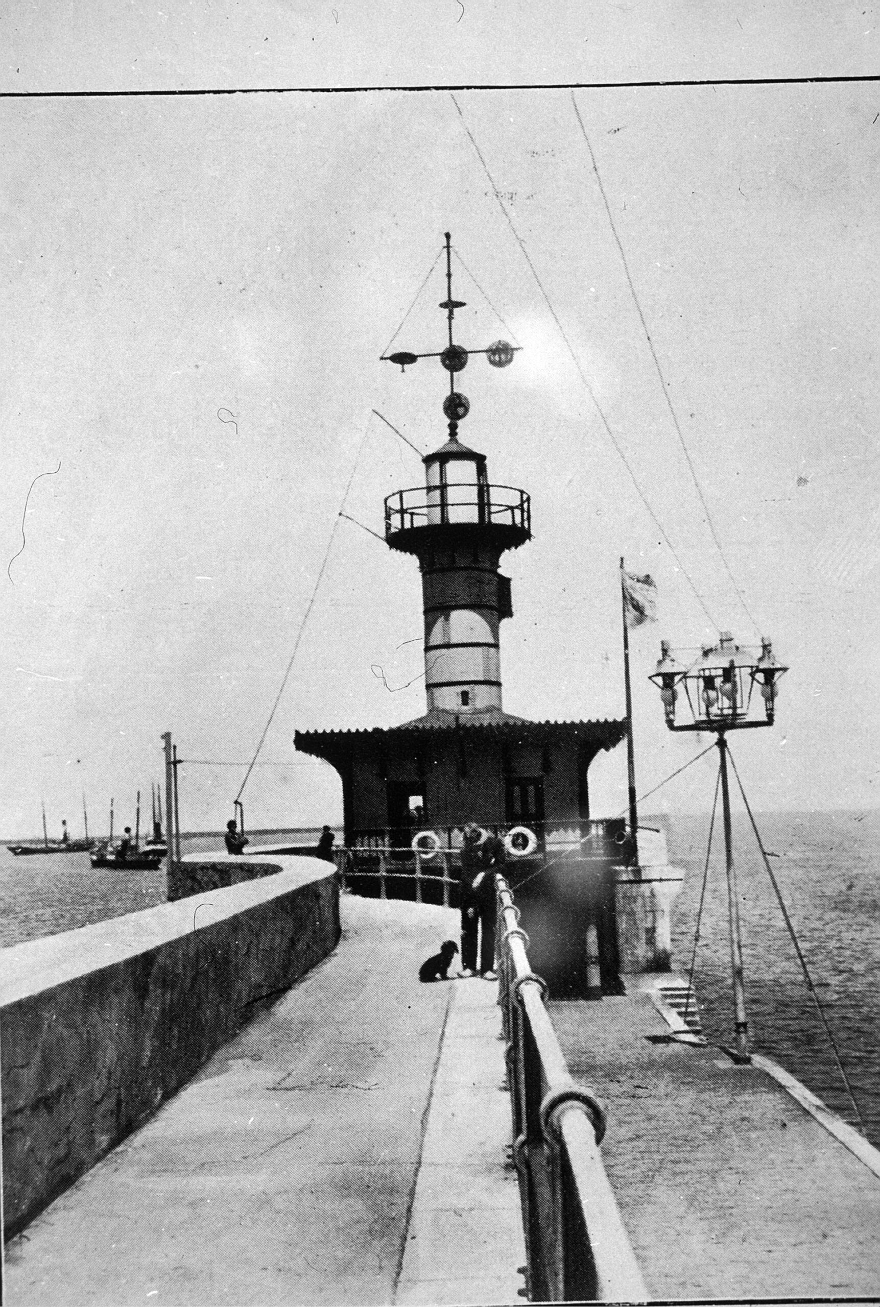
The town of Portugalete, located on the mouth of the Nervion estuary, was where sea people sheltered in its natural port when it was founded in 1322.
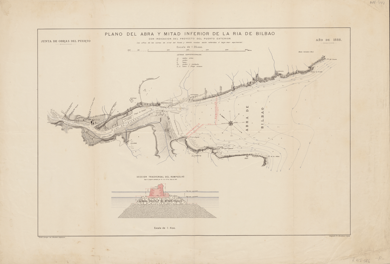
Nervion is an estuary up to where the tides can reach, that is, up to San Cristobal island, 2km up from Bilbao. The port of Bilbao is a fluvial and maritime port, working based on the tides, with 13.7 navigable kilometres from the anchorage in the Arenal to the dock in Portugalete.
The ruling winds, or more frequent ones, on the Cantabrian coast, are from the northwest and the southwest, especially in the winter, and they rule for two-thirds of the year.
The more dominant or violent winds come from the northwest. The influence of this dominant wind usually rules the current on the coast. The mouth of the port is oriented to the NW, making it a good port of refuge.
Marine currents are the response of the sea to the planet’s position, to the rotation and translation of the Earth, to the seasons of the year, to the wind, to the tides, and differences in temperature and salinity.


